
Lake Whitney State Park topographic map
Interactive map
Click on the map to display elevation.
About this map
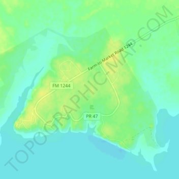
Name: Lake Whitney State Park topographic map, elevation, terrain.
Location: Lake Whitney State Park, Hill County, Texas, United States (31.91536 -97.38183 31.93532 -97.34784)
Average elevation: 165 m
Minimum elevation: 157 m
Maximum elevation: 176 m
Other topographic maps
Click on a map to view its topography, its elevation and its terrain.
South Lake
United States > Texas > Hill County
South Lake, Hill County, Texas, United States
Average elevation: 189 m