
Thank you for supporting this site ❤️
Make a donation
Make a donation
Gear up for your next adventure:
As an Amazon Associate, this site earns from qualifying purchases at no extra cost to you.
Lonesand topographic map
Click on the map to display elevation.
Thank you for supporting this site ❤️
Make a donation
Make a donation
Gear up for your next adventure:
As an Amazon Associate, this site earns from qualifying purchases at no extra cost to you.
About this map
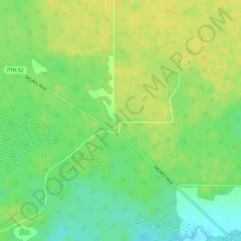
Name: Lonesand topographic map, elevation, terrain.
Location: Lonesand, Rural Municipality of Stuartburn, Manitoba, Canada (49.21273 -96.31538 49.23273 -96.29538)
Average elevation: 328 m
Minimum elevation: 316 m
Maximum elevation: 336 m
Thank you for supporting this site ❤️
Make a donation
Make a donation
Gear up for your next adventure:
As an Amazon Associate, this site earns from qualifying purchases at no extra cost to you.