
La Merced topographic map
Interactive map
Click on the map to display elevation.
About this map
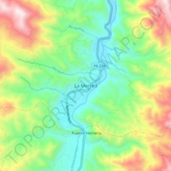
Name: La Merced topographic map, elevation, terrain.
Location: La Merced, Chanchamayo, Junín, Pérou (-11.09606 -75.36824 -11.01606 -75.28824)
Average elevation: 1,078 m
Minimum elevation: 707 m
Maximum elevation: 1,748 m