
Make a donation
Gear up for your next adventure:
As an Amazon Associate, this site earns from qualifying purchases at no extra cost to you.
Phou Bia topographic map
Click on the map to display elevation.
Make a donation
Gear up for your next adventure:
As an Amazon Associate, this site earns from qualifying purchases at no extra cost to you.
Phou Bia
Phou Bia (Lao: ພູເບັ້ຍ, pronounced [pʰúː bîa̯]) is the highest mountain in Laos. It is in the Annamese Cordillera, at the southern limit of the Xiangkhoang Plateau in Xiangkhouang Province. Owing to its elevation—2,819 m (9,249 ft), the highest terrestrial point in Laos, the climate is cold and the area around the mountain is mostly cloudy.
Make a donation
Gear up for your next adventure:
As an Amazon Associate, this site earns from qualifying purchases at no extra cost to you.
About this map
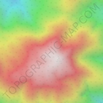
Name: Phou Bia topographic map, elevation, terrain.
Location: Phou Bia, Anouvong District, Xaisomboun Province, Laos (18.98158 103.15198 18.98168 103.15208)
Average elevation: 2,390 m
Minimum elevation: 1,816 m
Maximum elevation: 2,809 m
Make a donation
Gear up for your next adventure:
As an Amazon Associate, this site earns from qualifying purchases at no extra cost to you.