
Paup topographic map
Interactive map
Click on the map to display elevation.
About this map
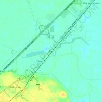
Name: Paup topographic map, elevation, terrain.
Location: Paup, Miller County, Arkansas, United States (33.48207 -93.96269 33.52207 -93.92269)
Average elevation: 82 m
Minimum elevation: 74 m
Maximum elevation: 100 m