
Mele Island topographic map
Interactive map
Click on the map to display elevation.
About this map
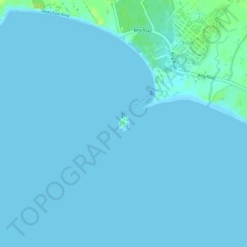
Name: Mele Island topographic map, elevation, terrain.
Location: Mele Island, Mele, Shefa Province, Vanuatu (-17.69770 168.26265 -17.69597 168.26402)
Average elevation: 2 m
Minimum elevation: 0 m
Maximum elevation: 15 m