
Auvelais topographic map
Interactive map
Click on the map to display elevation.
About this map
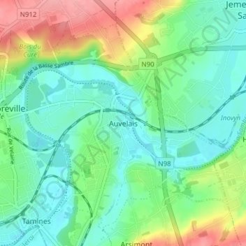
Name: Auvelais topographic map, elevation, terrain.
Location: Auvelais, Namur, Wallonie, 5060, Belgique (50.42702 4.61546 50.46702 4.65546)
Average elevation: 117 m
Minimum elevation: 87 m
Maximum elevation: 182 m
Auvelais se situe à une altitude de 95 m (au seuil de l'église sur la Place Communale).