
上拉秀乡 topographic map
Interactive map
Click on the map to display elevation.
About this map
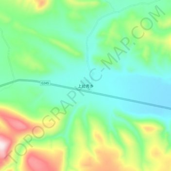
Name: 上拉秀乡 topographic map, elevation, terrain.
Location: 上拉秀乡, 玉树市, 玉树藏族自治州, 青海省, 中国 (32.92641 96.31790 33.00641 96.39790)
Average elevation: 4,431 m
Minimum elevation: 4,237 m
Maximum elevation: 4,908 m
Other topographic maps
Click on a map to view its topography, its elevation and its terrain.