
Luweero topographic map
Interactive map
Click on the map to display elevation.
About this map
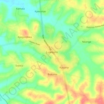
Name: Luweero topographic map, elevation, terrain.
Location: Luweero, Central Region, Uganda (0.80094 32.45353 0.88094 32.53353)
Average elevation: 1,101 m
Minimum elevation: 1,075 m
Maximum elevation: 1,135 m