
Kaas topographic map
Interactive map
Click on the map to display elevation.
About this map
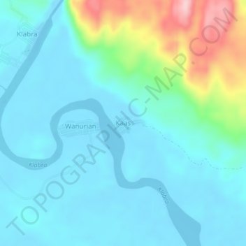
Name: Kaas topographic map, elevation, terrain.
Location: Kaas, Sorong, Southwest Papua, Western New Guinea, Indonesia (-1.31364 131.70228 -1.27364 131.74228)
Average elevation: 41 m
Minimum elevation: -4 m
Maximum elevation: 212 m