
Taishan District topographic map
Interactive map
Click on the map to display elevation.
About this map
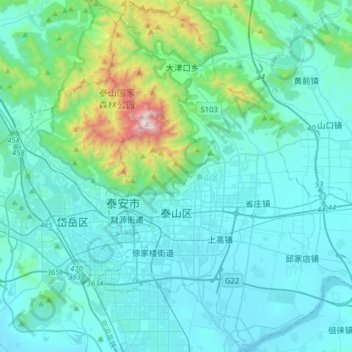
Name: Taishan District topographic map, elevation, terrain.
Location: Taishan District, Tai'an, Shandong, 271000, China (36.09111 117.05798 36.34688 117.32675)
Average elevation: 286 m
Minimum elevation: 112 m
Maximum elevation: 1,523 m
Other topographic maps
Click on a map to view its topography, its elevation and its terrain.