
Axtell topographic map
Interactive map
Click on the map to display elevation.
About this map
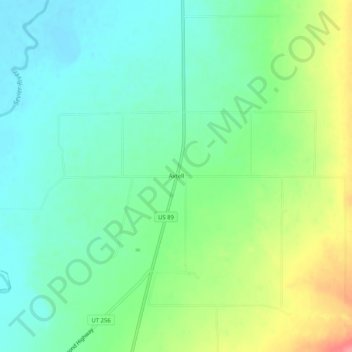
Name: Axtell topographic map, elevation, terrain.
Location: Axtell, Sanpete County, Utah, 84621, United States (39.03524 -111.84187 39.07524 -111.80187)
Average elevation: 1,572 m
Minimum elevation: 1,545 m
Maximum elevation: 1,628 m