
Rothenthurn topographic map
Interactive map
Click on the map to display elevation.
About this map
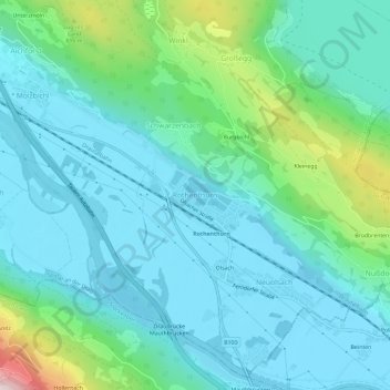
Name: Rothenthurn topographic map, elevation, terrain.
Average elevation: 622 m
Minimum elevation: 511 m
Maximum elevation: 1,089 m
Other topographic maps
Click on a map to view its topography, its elevation and its terrain.
Edling
Österreich > Kärnten > Bezirk Spittal an der Drau > Spittal an der Drau
Edling, Spittal an der Drau, Bezirk Spittal an der Drau, Kärnten, 9800, Österreich
Average elevation: 614 m
Burgbichl
Österreich > Kärnten > Bezirk Spittal an der Drau > Spittal an der Drau > Großegg > Burgbichl
Burgbichl, Großegg, Spittal an der Drau, Bezirk Spittal an der Drau, Kärnten, 9800, Österreich
Average elevation: 638 m