
Arcana topographic map
Interactive map
Click on the map to display elevation.
About this map
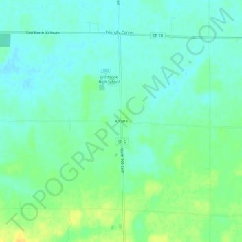
Name: Arcana topographic map, elevation, terrain.
Location: Arcana, Grant County, Indiana, États-Unis d'Amérique (40.51865 -85.52331 40.55865 -85.48331)
Average elevation: 268 m
Minimum elevation: 259 m
Maximum elevation: 284 m