
冲口门村 topographic map
Interactive map
Click on the map to display elevation.
About this map
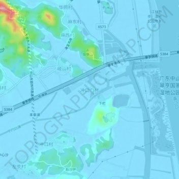
Name: 冲口门村 topographic map, elevation, terrain.
Location: 冲口门村, 中山市, 广东省, 中国 (22.50269 113.54304 22.54269 113.58304)
Average elevation: 7 m
Minimum elevation: -13 m
Maximum elevation: 140 m
Other topographic maps
Click on a map to view its topography, its elevation and its terrain.