
Refugio El Caulle topographic map
Interactive map
Click on the map to display elevation.
About this map
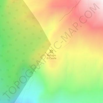
Name: Refugio El Caulle topographic map, elevation, terrain.
Average elevation: 1,306 m
Minimum elevation: 853 m
Maximum elevation: 1,796 m
Other topographic maps
Click on a map to view its topography, its elevation and its terrain.
Zona Sur
Chili > Fleuves > Provincia de Ranco > Río Bueno
Zona Sur, Río Bueno, Provincia de Ranco, Fleuves, Chili
Average elevation: 399 m