
Llanfair Talhaearn topographic map
Interactive map
Click on the map to display elevation.
About this map
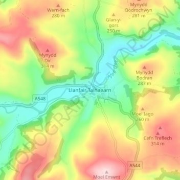
Name: Llanfair Talhaearn topographic map, elevation, terrain.
Location: Llanfair Talhaearn, Conwy, Wales, LL22 8RT, United Kingdom (53.19824 -3.62870 53.23824 -3.58870)
Average elevation: 212 m
Minimum elevation: 92 m
Maximum elevation: 355 m
Other topographic maps
Click on a map to view its topography, its elevation and its terrain.
Llandudno
United Kingdom > Wales > Conwy > Llandudno
Llandudno, Conwy, Wales, LL30 1AH, United Kingdom
Average elevation: 19 m