
Le Dessus de la Chapelle topographic map
Interactive map
Click on the map to display elevation.
About this map
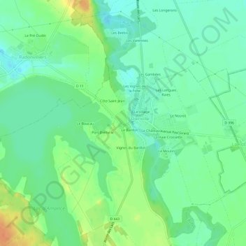
Name: Le Dessus de la Chapelle topographic map, elevation, terrain.
Average elevation: 136 m
Minimum elevation: 122 m
Maximum elevation: 160 m
Other topographic maps
Click on a map to view its topography, its elevation and its terrain.
Le Barillot
France > Grand Est > Aube > Dienville
Le Barillot, Les Croisettes, Dienville, Bar-sur-Aube, Aube, Grand Est, France métropolitaine, 10500, France
Average elevation: 136 m