
Penha topographic map
Interactive map
Click on the map to display elevation.
About this map
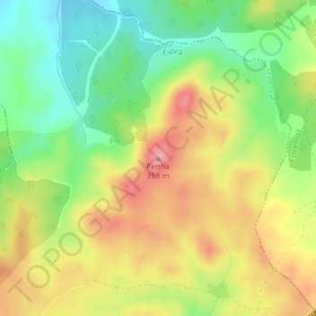
Name: Penha topographic map, elevation, terrain.
Location: Penha, Évora, 7040-301, Portugal (38.74552 -7.78164 38.74562 -7.78154)
Average elevation: 296 m
Minimum elevation: 244 m
Maximum elevation: 351 m