
Cee topographic map
Interactive map
Click on the map to display elevation.
About this map
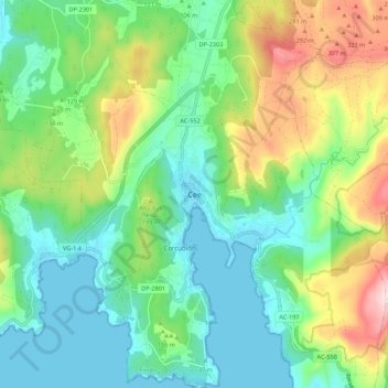
Name: Cee topographic map, elevation, terrain.
Location: Cee, Finisterre, La Coruña, Galicia, 15270, España (42.91556 -9.23000 42.99556 -9.15000)
Average elevation: 128 m
Minimum elevation: -1 m
Maximum elevation: 423 m