
Vedrin topographic map
Interactive map
Click on the map to display elevation.
About this map
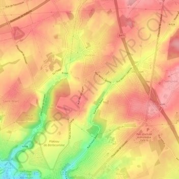
Name: Vedrin topographic map, elevation, terrain.
Location: Vedrin, Namur, Wallonie, 5020, Belgique (50.47543 4.84995 50.51373 4.89345)
Average elevation: 169 m
Minimum elevation: 94 m
Maximum elevation: 203 m