
La Velaine topographic map
Interactive map
Click on the map to display elevation.
About this map
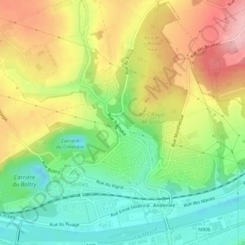
Name: La Velaine topographic map, elevation, terrain.
Location: La Velaine, Tramaka, Andenne, Namur, Wallonie, 5300, Belgique (50.50427 5.08587 50.50610 5.08938)
Average elevation: 129 m
Minimum elevation: 59 m
Maximum elevation: 214 m
Other topographic maps
Click on a map to view its topography, its elevation and its terrain.