
Dederang topographic map
Interactive map
Click on the map to display elevation.
About this map
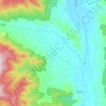
Name: Dederang topographic map, elevation, terrain.
Location: Dederang, Alpine Shire, Victoria, Australia (-36.52860 146.94626 -36.42211 147.06179)
Average elevation: 421 m
Minimum elevation: 203 m
Maximum elevation: 1,186 m