
Mount Langudi topographic map
Interactive map
Click on the map to display elevation.
About this map
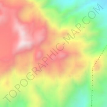
Name: Mount Langudi topographic map, elevation, terrain.
Location: Mount Langudi, Zone 3, Afar Region, Ethiopia (10.57333 41.04000 10.59333 41.06000)
Average elevation: 1,089 m
Minimum elevation: 723 m
Maximum elevation: 1,367 m
Other topographic maps
Click on a map to view its topography, its elevation and its terrain.