
El Redal topographic map
Interactive map
Click on the map to display elevation.
About this map
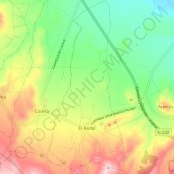
Name: El Redal topographic map, elevation, terrain.
Location: El Redal, La Rioja, España (42.32433 -2.21654 42.37660 -2.18590)
Average elevation: 498 m
Minimum elevation: 370 m
Maximum elevation: 672 m