
Gordons Bay topographic map
Interactive map
Click on the map to display elevation.
About this map
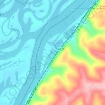
Name: Gordons Bay topographic map, elevation, terrain.
Average elevation: 236 m
Minimum elevation: 183 m
Maximum elevation: 369 m
Other topographic maps
Click on a map to view its topography, its elevation and its terrain.
Gays Mills
United States > Wisconsin > Crawford County
Gays Mills, Crawford County, Wisconsin, United States
Average elevation: 272 m