
La Verpillère topographic map
Interactive map
Click on the map to display elevation.
About this map
Name: La Verpillère topographic map, elevation, terrain.
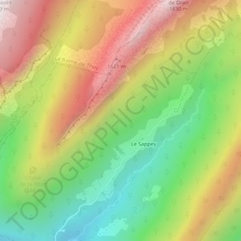
Average elevation: 1,189 m
Minimum elevation: 658 m
Maximum elevation: 1,794 m
Other topographic maps
Click on a map to view its topography, its elevation and its terrain.
Le Sappey
France > Auvergne-Rhône-Alpes > Haute-Savoie > Thônes > Le Sappey
Le Sappey, Thônes, Annecy, Haute-Savoie, Auvergne-Rhône-Alpes, France métropolitaine, 74230, France
Average elevation: 1,163 m