
James Bond Island topographic map
Interactive map
Click on the map to display elevation.
About this map
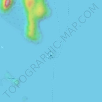
Name: James Bond Island topographic map, elevation, terrain.
Location: James Bond Island, Phang-nga Province, Thailand (8.27534 98.50047 8.27550 98.50068)
Average elevation: 17 m
Minimum elevation: -1 m
Maximum elevation: 432 m