
La Chatoire topographic map
Interactive map
Click on the map to display elevation.
About this map
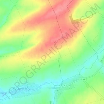
Name: La Chatoire topographic map, elevation, terrain.
Average elevation: 148 m
Minimum elevation: 111 m
Maximum elevation: 188 m
Other topographic maps
Click on a map to view its topography, its elevation and its terrain.
Sans Soucis
France > Grand Est > Marne > Coupéville
Sans Soucis, Coupéville, Châlons-en-Champagne, Marne, Grand Est, France métropolitaine, 51240, France
Average elevation: 182 m