
Hil topographic map
Interactive map
Click on the map to display elevation.
About this map
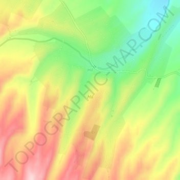
Name: Hil topographic map, elevation, terrain.
Location: Hil, Qusar District, Quba-Khachmaz, Azerbaijan (41.44935 48.32141 41.48418 48.36623)
Average elevation: 796 m
Minimum elevation: 665 m
Maximum elevation: 927 m