
Potato Creek topographic map
Interactive map
Click on the map to display elevation.
About this map
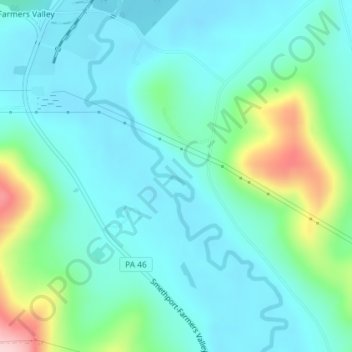
Name: Potato Creek topographic map, elevation, terrain.
Average elevation: 484 m
Minimum elevation: 435 m
Maximum elevation: 665 m
Other topographic maps
Click on a map to view its topography, its elevation and its terrain.
Potato Creek
United States > Pennsylvania > McKean County > Keating Township
Potato Creek, Keating Township, McKean County, Pennsylvania, United States
Average elevation: 470 m
Aiken
United States > Pennsylvania > McKean County > Keating Township
Aiken, Keating Township, McKean County, Pennsylvania, 16744, United States
Average elevation: 635 m
Potato Creek
United States > Pennsylvania > McKean County > Keating Township
Potato Creek, Keating Township, McKean County, Pennsylvania, United States
Average elevation: 476 m