
Pisgah State Park topographic map
Interactive map
Click on the map to display elevation.
About this map
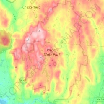
Name: Pisgah State Park topographic map, elevation, terrain.
Average elevation: 250 m
Minimum elevation: 60 m
Maximum elevation: 429 m
Other topographic maps
Click on a map to view its topography, its elevation and its terrain.
Winchester
United States > New Hampshire > Cheshire County > Winchester
Winchester, Cheshire County, New Hampshire, United States
Average elevation: 167 m