
Sintar topographic map
Interactive map
Click on the map to display elevation.
About this map
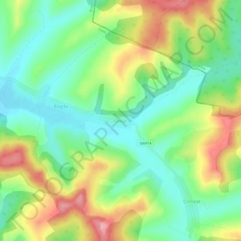
Name: Sintar topographic map, elevation, terrain.
Location: Sintar, Neuhof, Temesch, 307076, Rumänien (45.95410 21.57769 45.99410 21.61769)
Average elevation: 195 m
Minimum elevation: 144 m
Maximum elevation: 273 m
Other topographic maps
Click on a map to view its topography, its elevation and its terrain.
Charlottenburg
Charlottenburg, Neuhof, Temesch, 307073, Rumänien
Average elevation: 172 m