
Hillsboro topographic map
Interactive map
Click on the map to display elevation.
About this map
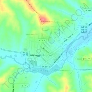
Name: Hillsboro topographic map, elevation, terrain.
Location: Hillsboro, Vernon County, Wisconsin, United States (43.64742 -90.35262 43.66239 -90.32236)
Average elevation: 307 m
Minimum elevation: 284 m
Maximum elevation: 364 m
Other topographic maps
Click on a map to view its topography, its elevation and its terrain.
Kickapoo Valley Reserve
United States > Wisconsin > Vernon County > La Farge
Kickapoo Valley Reserve, S3661, State Highway 131, La Farge, Town of Whitestown, Vernon County, Wisconsin, 54639, United States
Average elevation: 318 m