Geolocate

Maraju topographic map

Interactive map

Click on the map to display elevation.

About this map

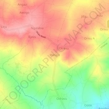
Name: Maraju topographic map, elevation, terrain.

Location: Maraju, Aii-vu, Arua, Northern Region, Uganda (3.15551 31.05964 3.19551 31.09964)

Average elevation: 937 m

Minimum elevation: 862 m

Maximum elevation: 988 m

Other topographic maps

Click on a map to view its topography, its elevation and its terrain.

Aripi

Uganda > Arua

Aripi, Omugo, Arua, Northern Region, Uganda

Average elevation: 1,067 m

Lima

Uganda > Arua

Lima, Logiri, Arua, Northern Region, Uganda

Average elevation: 1,449 m

Sudan

Uganda > Arua > Sudan

Sudan, Arua, Northern Region, 481, Uganda

Average elevation: 1,162 m

Pawor

Uganda > Arua > Pawor

Pawor, Arua, Northern Region, Uganda

Average elevation: 648 m

Paraa

Uganda > Arua > Paraa

Paraa, Arua, Northern Region, Uganda

Average elevation: 660 m