
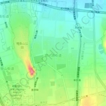
银川路街道 topographic map
Interactive map
Click on the map to display elevation.
About this map
Name: 银川路街道 topographic map, elevation, terrain.
Location: 银川路街道, 新市区, 乌鲁木齐市, 新疆维吾尔自治区, 830000, 中国 (43.83355 87.58002 43.85985 87.59797)
Average elevation: 796 m
Minimum elevation: 769 m
Maximum elevation: 853 m
Other topographic maps
Click on a map to view its topography, its elevation and its terrain.