
Thank you for supporting this site ❤️
Make a donation
Make a donation
Gear up for your next adventure:
As an Amazon Associate, this site earns from qualifying purchases at no extra cost to you.
Gelong topographic map
Click on the map to display elevation.
Thank you for supporting this site ❤️
Make a donation
Make a donation
Gear up for your next adventure:
As an Amazon Associate, this site earns from qualifying purchases at no extra cost to you.
About this map
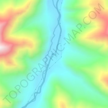
Name: Gelong topographic map, elevation, terrain.
Location: Gelong, Kangmar County, Shigatse Prefecture, Tibet, China (28.47243 89.63957 28.51243 89.67957)
Average elevation: 4,593 m
Minimum elevation: 4,294 m
Maximum elevation: 5,221 m
Thank you for supporting this site ❤️
Make a donation
Make a donation
Gear up for your next adventure:
As an Amazon Associate, this site earns from qualifying purchases at no extra cost to you.