
Flaxweiler topographic map
Interactive map
Click on the map to display elevation.
About this map
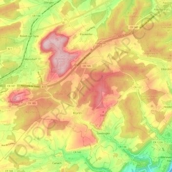
Name: Flaxweiler topographic map, elevation, terrain.
Location: Flaxweiler, Canton Grevenmacher, Luxemburg (49.60715 6.30317 49.67838 6.42355)
Average elevation: 279 m
Minimum elevation: 139 m
Maximum elevation: 391 m
Other topographic maps
Click on a map to view its topography, its elevation and its terrain.
Grevenmacher
Luxemburg > Canton Grevenmacher
Grevenmacher, Canton Grevenmacher, Luxemburg
Average elevation: 246 m