
Long Lake topographic map
Interactive map
Click on the map to display elevation.
About this map
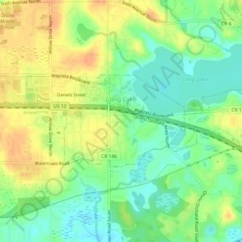
Name: Long Lake topographic map, elevation, terrain.
Location: Long Lake, Hennepin County, Minnesota, 55356, United States (44.97796 -93.58824 44.98935 -93.54580)
Average elevation: 300 m
Minimum elevation: 282 m
Maximum elevation: 318 m