
Muncie topographic map
Interactive map
Click on the map to display elevation.
About this map
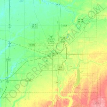
Name: Muncie topographic map, elevation, terrain.
Location: Muncie, Delaware County, Indiana, 47305, United States (40.03369 -85.54653 40.35369 -85.22653)
Average elevation: 294 m
Minimum elevation: 262 m
Maximum elevation: 359 m