
Nordskott topographic map
Interactive map
Click on the map to display elevation.
About this map
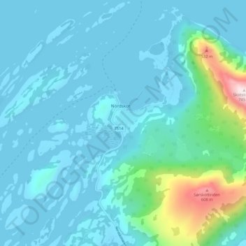
Name: Nordskott topographic map, elevation, terrain.
Location: Nordskott, Steigen, Nordland, Norwegen (67.80993 14.77177 67.84993 14.81177)
Average elevation: 90 m
Minimum elevation: 0 m
Maximum elevation: 717 m