
St. Ulrich am Pillersee topographic map
Interactive map
Click on the map to display elevation.
About this map
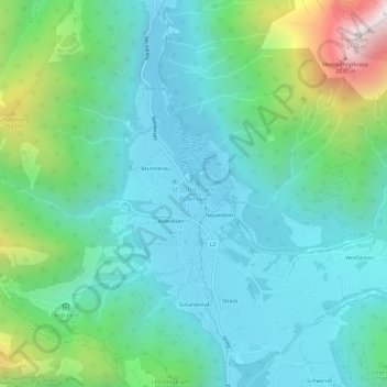
Name: St. Ulrich am Pillersee topographic map, elevation, terrain.
Average elevation: 1,119 m
Minimum elevation: 829 m
Maximum elevation: 2,109 m