
Juillé topographic map
Interactive map
Click on the map to display elevation.
About this map
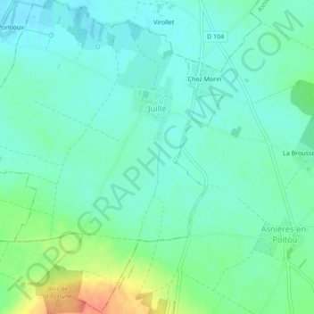
Name: Juillé topographic map, elevation, terrain.
Average elevation: 70 m
Minimum elevation: 56 m
Maximum elevation: 107 m
Other topographic maps
Click on a map to view its topography, its elevation and its terrain.
Juillé
France > Nouvelle-Aquitaine > Juillé
Juillé, Confolens, Charente, Nouvelle-Aquitaine, France métropolitaine, 16230, France
Average elevation: 93 m