
Haus Alst topographic map
Interactive map
Click on the map to display elevation.
About this map
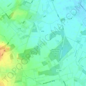
Name: Haus Alst topographic map, elevation, terrain.
Average elevation: 73 m
Minimum elevation: 62 m
Maximum elevation: 99 m
Other topographic maps
Click on a map to view its topography, its elevation and its terrain.
Horstmar-Leer
Deutschland > Nordrhein-Westfalen > Horstmar
Horstmar-Leer, Horstmar, Kreis Steinfurt, Regierungsbezirk Münster, Nordrhein-Westfalen, 48612, Deutschland
Average elevation: 84 m