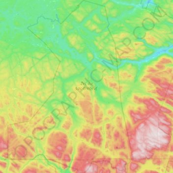
Zec du Lac-Brébeuf topographic map
Interactive map
Click on the map to display elevation.
About this map
Name: Zec du Lac-Brébeuf topographic map, elevation, terrain.
Average elevation: 475 m
Minimum elevation: 144 m
Maximum elevation: 1,010 m

Click on the map to display elevation.
Name: Zec du Lac-Brébeuf topographic map, elevation, terrain.
Average elevation: 475 m
Minimum elevation: 144 m
Maximum elevation: 1,010 m