
Make a donation
Gear up for your next adventure:
As an Amazon Associate, this site earns from qualifying purchases at no extra cost to you.
Col du Platzerwasel topographic map
Click on the map to display elevation.
Make a donation
Gear up for your next adventure:
As an Amazon Associate, this site earns from qualifying purchases at no extra cost to you.
Col du Platzerwasel
The Col du Platzerwasel (elevation 1,182 m (3,878 ft)) is a mountain pass situated in the Vosges Mountains in the Haut-Rhin department of France, between Sondernach and Le Markstein. It has been crossed occasionally during the Tour de France cycle race, including on Stage 10 of the 2014 race.
Make a donation
Gear up for your next adventure:
As an Amazon Associate, this site earns from qualifying purchases at no extra cost to you.
About this map
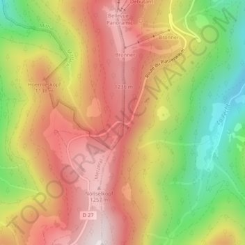
Name: Col du Platzerwasel topographic map, elevation, terrain.
Average elevation: 1,024 m
Minimum elevation: 683 m
Maximum elevation: 1,298 m
Make a donation
Gear up for your next adventure:
As an Amazon Associate, this site earns from qualifying purchases at no extra cost to you.