
San Andres topographic map
Interactive map
Click on the map to display elevation.
About this map
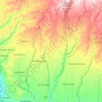
Name: San Andres topographic map, elevation, terrain.
Location: San Andres, Distrito Bugaba, Chiriquí, Panama (8.57517 -82.75077 8.72721 -82.68654)
Average elevation: 686 m
Minimum elevation: 201 m
Maximum elevation: 1,255 m