
Little Blue Lake topographic map
Interactive map
Click on the map to display elevation.
About this map
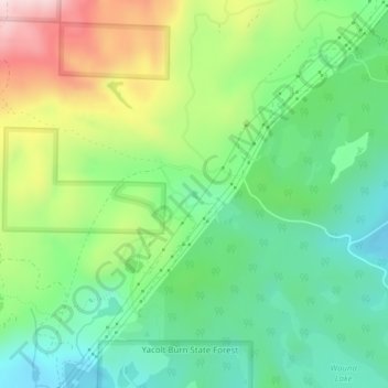
Name: Little Blue Lake topographic map, elevation, terrain.
Average elevation: 158 m
Minimum elevation: 23 m
Maximum elevation: 404 m
Other topographic maps
Click on a map to view its topography, its elevation and its terrain.
Lava Dome
United States > Washington > Skamania County
Lava Dome, Skamania County, Washington, United States
Average elevation: 2,109 m
Mount Saint Helens
United States > Washington > Skamania County
Mount Saint Helens, Skamania County, Washington, United States
Average elevation: 2,096 m