
مفرق السد topographic map
Interactive map
Click on the map to display elevation.
About this map
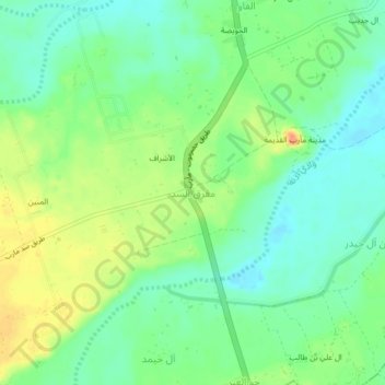
Name: مفرق السد topographic map, elevation, terrain.
Location: مفرق السد, مديرية مدينة مأرب, Ma'rib (gouvernement), Jemen (15.40155 45.30500 15.44155 45.34500)
Average elevation: 1,101 m
Minimum elevation: 1,084 m
Maximum elevation: 1,127 m