
Kota Baru topographic map
Interactive map
Click on the map to display elevation.
About this map
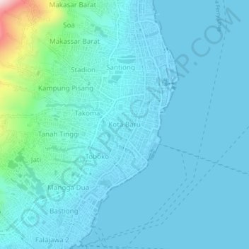
Name: Kota Baru topographic map, elevation, terrain.
Location: Kota Baru, Ternate, North Maluku, Maluku, 97714, Indonesia (0.76326 127.36281 0.80326 127.40281)
Average elevation: 44 m
Minimum elevation: -1 m
Maximum elevation: 404 m